
Sector
Applications
SkyStar Defense develops advanced UAV systems tailored to meet the diverse needs of defense, security, and industrial operations. Our platforms support large-scale aerial missions for reconnaissance, data acquisition, mapping, and inspection across complex environments. Equipped for ISTAR (Intelligence, Surveillance, Target Acquisition, and Reconnaissance) applications, SkyStar UAVs excel in border security, search and rescue, maritime observation, oil and gas monitoring, and infrastructure assessment. Designed for endurance, payload flexibility, and reliability in all conditions, our UAVs deliver superior situational awareness and operational performance for modern defense and civilian missions.
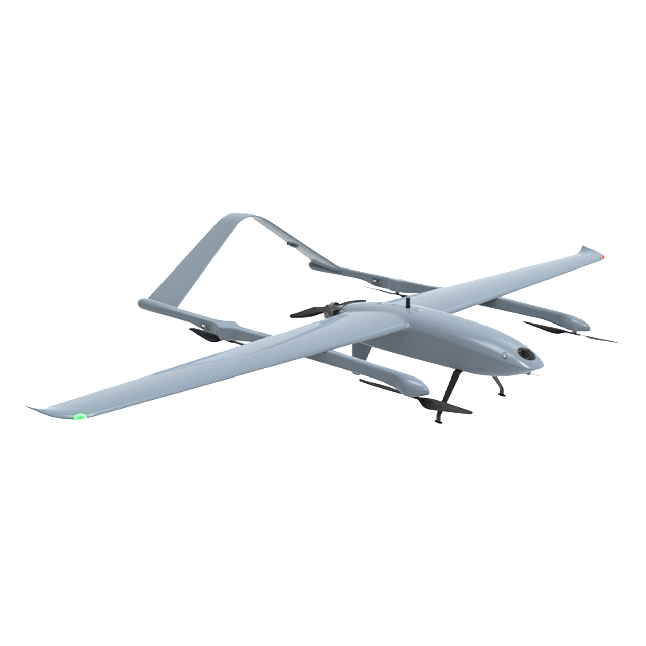
VT-Series
Tower
VT Series UAVs are transforming the inspection and maintenance industry. They provide precise measurements and detailed reports, allowing teams to accurately assess the condition of structures and identify maintenance needs. This helps ensure the safety, performance, and billing accuracy of these structures. Often, inventory data is outdated, leading to discrepancies that can compromise structural integrity. VT Series UAVs offer up-to-date, accurate data, reducing reliance on traditional inspection methods. This end-to-end solution simplifies data collection and management, enhancing operational efficiency and safety for companies.
VT Series
Utilities
VT Series UAVs are designed to inspect, measure, and monitor critical infrastructure such as power lines, oil and gas facilities, solar fields, and wind turbines. The platform provides all necessary hardware and software to implement and scale a comprehensive UAV program within your organization. Offering full control and unmatched flexibility in sensor integration, VT Series UAVs adapt to specific industry requirements with ease. These systems can autonomously execute complex inspection routes using advanced object detection and avoidance algorithms while capturing high-quality data for precise analysis and reporting. Utility operators rely on VT Series UAVs to assess infrastructure reliability, manage vegetation encroachment, and detect corrosion or structural degradation — ensuring continuous safety and operational efficiency.
VT Series
Survey
VT Series UAVs excel in mapping and surveying hard-to-access areas, capturing precise geolocations, and generating detailed digital surface models (DSMs) and analytical reports. They dramatically reduce operational costs and field time while delivering superior data accuracy. Designed for scalability, the VT Series enables organizations to train and deploy their own pilots, ensuring consistent, repeatable survey results across diverse teams and locations. These UAVs capture the high-resolution data required to produce engineering-grade 3D models used for dimensional analysis, structural assessment, and maintenance of critical transportation infrastructure. In emergency response scenarios, VT Series UAVs provide rapid situational awareness, delivering essential geospatial intelligence to assess damage, locate survivors, and support coordinated response efforts.
VT Series
Government
VT Series UAVs are proudly American-made — designed, manufactured, and tested in the United States to meet the highest standards of performance and reliability. Built specifically to support U.S. government and defense requirements, they comply with federal and state regulations and are fully approved for government procurement. We provide in-country support and uphold the strictest data security protocols to protect all mission information. Certified for airworthiness under U.S. standards, VT Series UAVs deliver exceptional quality, precision, and trustworthiness for critical operations.
VT Series
Surveillance
VT Series UAVs deliver exceptional surveillance performance, enabling real-time monitoring and high-resolution data collection across diverse mission environments. Equipped with advanced sensors and gyro-stabilized multisensor gimbals, they ensure crisp, stable imagery essential for border security, infrastructure inspection, and emergency response. Capable of autonomously patrolling large areas and tracking multiple targets, the VT Series provides critical geospatial intelligence to support rapid, informed decision-making. By deploying VT Series UAVs, organizations enhance situational awareness, improve operational efficiency, and maintain safety and security across complex terrains and vast operational zones.
VT Series
Topography
VT Series UAVs are powerful tools for topographical mapping, delivering precise and detailed aerial surveys across varied terrain. Equipped with advanced sensors and high-resolution cameras, they capture accurate topographical data to generate detailed digital surface models (DSMs) and orthomosaics. Their capability to access remote or hard-to-reach areas and efficiently cover large regions makes them indispensable for mapping and surveying applications. By utilizing VT Series UAVs, organizations can reduce field time and costs while obtaining consistent, high-quality data essential for topographical analysis and planning.